Description and History of Site:-
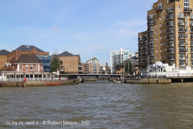
The dock was progressively enlarged from 1829. Extensions at expense of London & Blackwall Railway by 1842, connection to Limehouse Cut, 1848. Dock protected against fluctuations in level on semi-tidal cut while it was connected, 1853-64 by locks at Bromley, under St Leonard St, 382822, and below Britannia Bridge (Commercial Rd), 367811, recesses can be seen below new flood barrier. Line of original ship lock visible at 362809, and line of barge lock cut, 1849, is apparent alongside dogleg in Harrow St opposite Regent's Canal Dock office. Present Ship Lock, 1869 can accommodate ships up to 300 ft long, 45 ft wide drawing up to 16 ft, lock itself being 50 ft longer and 15 ft wider. 1866 Limehouse Cut Lock, 20 ft wide. 1968, in danger of collapse but BWB made 200 ft long steel-piled cut connecting dock and Cut. Site of lock and Canal cottages, Narrow St, 364808, remain, although lock filled in. Hydraulic capstan, 364808, by entrance. Now surrounded by late 1990s dockside developments In the 1960s there was a big trade in loading small coasters from Holland. There were queues of lorries right up Lowell Street and along Commercial Road. In an arm off of the dock BWB had a boat repair facility. As late as the 1965 it was possible to see a narrow boat sitting on trestles out of the water with the family still living in the back cabin. This could be the stretch of water now called Lockside. In the horse haulage era the bridge in Narrow Street over the entrance lock was so steeply humped that Thomas Hatcher one of the leading horse carters of the time kept a trace horse there.
Further Reading and References:-• Docklands History Survey, Greater London Council Historic Buildings Division 1984, ISBN 978-0716813293.
Help us improve this entry
The compilers welcome corrections or additional information on all sites.
Any information provided will be verified before appearing on the web site.
Email comments
Key Words :- canal basin
Address :- Narrow Street, London, Greater London, E14
Grid Ref :- TQ 36371 80973
Co-ordinates :- Lat 51.511234 , Long -0.036241
Local Authority :-
Tower Hamlets London Borough Council
Pre 1974 County :- Greater London Council
Site Status :- Site extant - Protected status unknown
Site Condition :- Operational site, in use for original purpose
Site Dates :- 1829 -
Record Date :- 2 June 2018
Copyright :- cc-by-nc-sa 4.0 © GLIAS Database
Grid Ref :- TQ 36371 80973
Co-ordinates :- Lat 51.511234 , Long -0.036241
Local Authority :- Tower Hamlets London Borough Council
Pre 1974 County :- Greater London Council
Site Status :- Site extant - Protected status unknown
Site Condition :- Operational site, in use for original purpose
Site Dates :- 1829 -
Record Date :- 2 June 2018
Copyright :- cc-by-nc-sa 4.0 © GLIAS Database