Description and History of Site:-
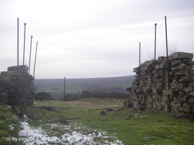
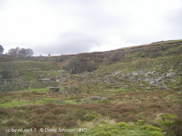
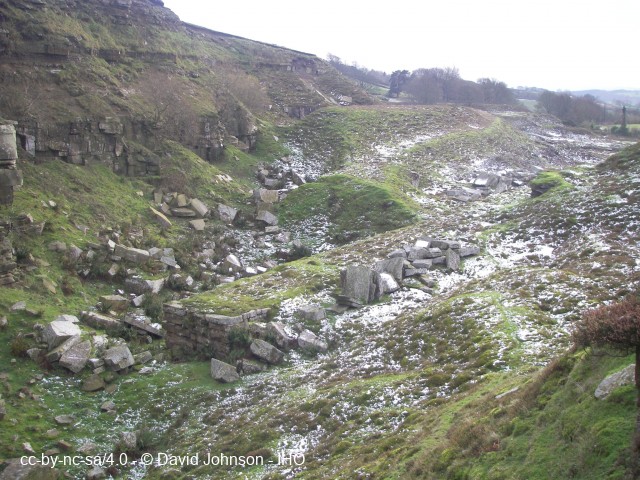
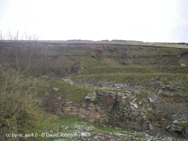
A linear series of discrete workings running for c. 600m below the edge and cut into Libishaw Sandstones (used for dimension stone) and White Crag Beds (used for flags and roofing 'slates'), both part of the Millstone Grit Group. None was worked in benches and some of the working faces exceed 25m in height. In addition, there were now-blocked levels cutting into the edge. It was well established, in the western half of the total extent of quarrying, before 1850, with smaller discrete workings further east at Drayman Field and Wild Carr, and at Queen's and King's Quarries.
A major 1200m-long, endless-rope incline, with a gradient of 1:3 to 1:5, connected the central part of the quarry with the rail dock at Pateley Bridge and it is intact throughout with the masonry-built drumhouse base also still in situ. The incline had escape side runs for runaway wagons. The bed of a west-east standard-gauge, loco-hauled rail track can be seen extending much of the length of the quarried area, as far east as Drayman's Field Quarry.. Cabins, shelters, dressing floors, judd walls and the trackbed for 10-foot gauge steam cranes are also extant along with many spoilheaps, finger tips, a reservoir and abandoned dimension stone blocks with pre-1800 tooling marks visible. The Grade II-listed quarry manager's house and offices are still occupied as a house. Other infrastructure has long gone, including boiler house, smithy, stables, loco shed, stores, Cornish boiler, two travelling cranes in the main quarry, one in Queens and three in Drayman Field Quarries.
At its maximum, c. 500 were employed in the whole quarry operation, including 30 stone dressers at the rail dock. Three trains per day were despatched from the station during the years of peak production, and "Pateley Stone" was exported countrywide.
The whole complex provides a detailed picture of how late 19th-century sandstone quarries were worked. Its documented history really starts in 1801, and the 1850 OS 6 Inch map shows its then extent but the 1890 map shows the extent to which the coming of the railway in the early 1860s had been the catalyst for major expansion with the building of the incline in 1871-72 and increased mechanisation following incorporation of the company in 1872.
Quarrying in the general area is documented from 1531 when Fountains Abbey rented stone quarries.
Decline set in after 1900 with cheap imports from abroad and by 1913 the whole operation was no longer considered viable and it was shut down and its removable assets were sold off.
Further Reading and References:-G. Blacker. 1995. The stone industry of Nidderdale - Part 1, Pateley Bridge. British Mining No. 55, Memoirs, pp. 47-80.
J.G. Blacker. 1993. The stone industry of Nidderdale. Privately published by author.
Anon. 1886. Scotgate Ash Quarries. The Builder, 4 December, pp. 11-13.
B. Jennings (ed). A history of Nidderdale. Pateley Bridge: Nidderdale History Group, pp. 320-21.
D. Johnson. 2016. Quarrying in the Yorkshire Pennines. Stroud: Amberley, pp. 36-37, 77.
Craven Museum, Skipton. 891b.2, b.3, b.4, b.5, b.6, b.7. Scot Gate Ash.
Help us improve this entry
The compilers welcome corrections or additional information on all sites.
Any information provided will be verified before appearing on the web site.
Email comments
Key Words :- sandstone dimension stone
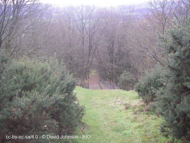
Viewing the Site :- a PRoW runs all the way through the quarried area from one end to the other
Address :- Pateley Bridge, North Yorkshire
Grid Ref :- SE 15861 66849
Co-ordinates :- Lat 54.097297 , Long -1.758965
Local Authority :- Harrogate Borough Council
Pre 1974 County :- Yorkshire - West Riding
Site Status :- Site extant - Protected status unknown
Site Condition :- Site disused - but otherwise substantially intact
Site Dates :- possibly medieval - 1913
Record Date :- 19 November 2016
Copyright :- cc-by-nc-sa 4.0 © David Johnson