Description and History of Site:-
Lead mine situated across the Parish boundaries of Cononley and Glusburn but known as Cononley mine.
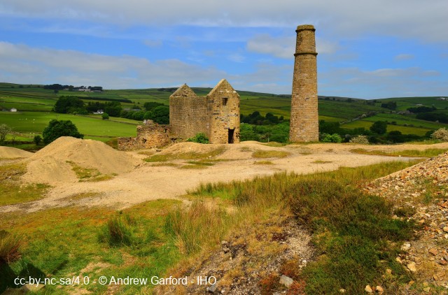
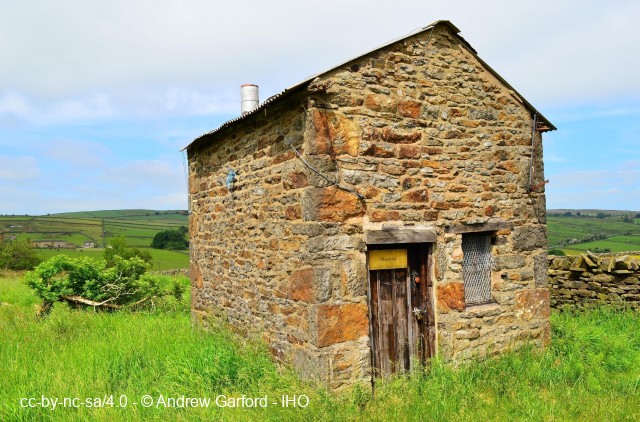
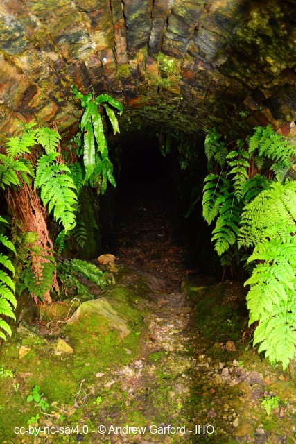
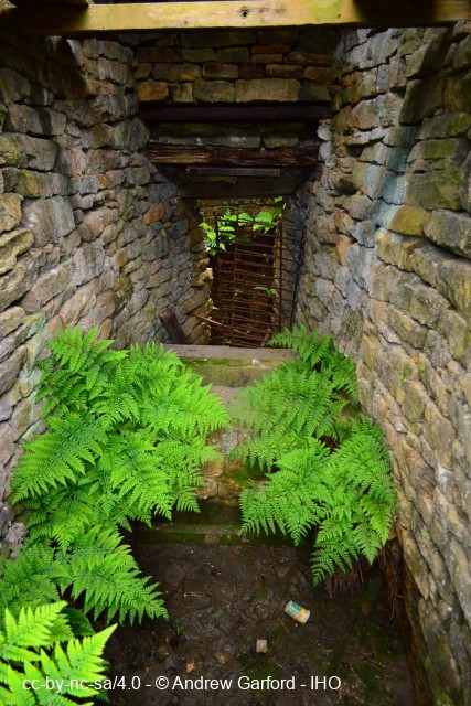
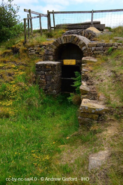
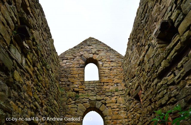
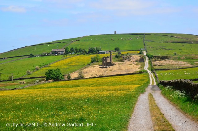
Mine buildings visible today (2018) dating between 1842-9. These consist of the engine house c1842, chimney c1842, smithy c1842, Engine Shaft angle bob lobby c1840, powder magazine, inclined plane c1849, bridge abutment for trestle bridge and the mine reservoir.
Earlier lead working here is recorded from 1532 and into the 1700's and consists of surface workings and bell-pits across Glusburn Moor.
Lead smelting took place at Lumb Clough mill, Sutton-in-Craven, between 1700-1746 for ore mined here during this period (see NYK01647).
The Cornish design of engine house and chimney was influenced by the famous Cornish mining engineer John Taylor, brought in by the Duke of Devonshire who held the mineral rights here and also the nearby Grassington Moor mines, to modernise the workings. The engine house housed a steam engine used for hauling tubs of ore up the Inclined Plane using wire rope where the ore was given a preliminary dressing using a steam powered crusher alongside. The partially dressed ore was trammed in tubs over a trestle bridge to the head of Taylor's Shaft where the ore was tipped down a hopper in the shaft to the waiting wagons in the Deep Adit Crosscut far below, then trammed to the final dressing stamps prior to smelting.
The headquarters, Lower Dressing Floor and smelt mill for this mine, after c1840, were located at nearby Nethergill in Cononley, (see NYK01649).
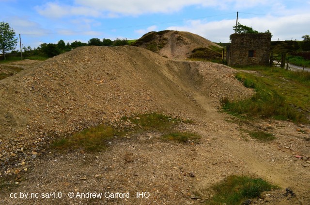
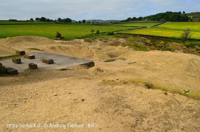
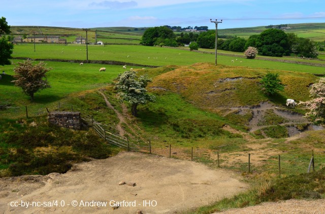
Later 1930's-1950's concrete machine foundations are evident from the Fluorspar and Barytes extraction that took place from the older spoil heaps. 1530 Henry VIII made a grant for the working of lead on Glusburn Moor.
1500s-1700s bell-pits were sunk and shallow surface workings used to explore the lead ore vein.
c1830 The mine started to be developed to achieve it's maximum potential.
1835 The Deep Adit Crosscut in Nethergill was started by Messrs. Hall of Newcastle.
c1840 Engine Shaft was sunk to 146m.
c1842 The engine house, separate boiler house and chimney were constructed, 90m away from the
(146m deep) Engine Shaft and a set of flat rods connected the engine to the pumps through an angle bob.
1850 The best annual production reached 804 tons.
1864 Production had dropped to 409 tons.
1882 Mine closes.
Total production between 1830-1876 was 15,000 tons lead ore.
1920s-1950s The spoil heaps were worked to recover Barytes and Fluorspar.
Mid-1900s Some minor exploration and trials continued with little success.
Further Reading and References:-Raistrick, A. Lead mining in the Mid-Pennines. Bradford Barton, p150-158.
Dickinson, J M. Mines and t'miners. J M Dickinson, 1972, p1-8.
Gill, M C. The Yorkshire and Lancashire Lead Mines, British Mining, No 33
Falconer K, Guide to England's Industrial Heritage, Batsford, 1980
https://www.nmrs.org.uk/mines-map/metal/mid-pennine-mines/fsouth/cononley-mine/
Help us improve this entry
The compilers welcome corrections or additional information on all sites.
Any information provided will be verified before appearing on the web site.
Email comments
Key Words :- lead mining smelting
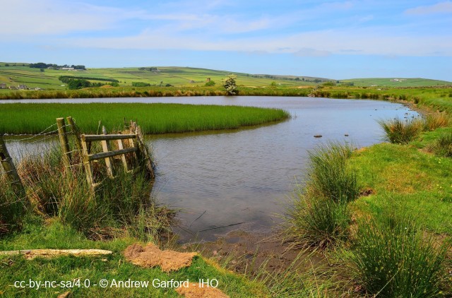
Viewing the Site :- Can be viewed from the public footpath which runs alongside the mine dam, also public access on foot onto mine site, with interpretation signage.
Address :- Cononley, Skipton, North Yorkshire, BD20 8EB
Grid Ref :- SD 97948 46117
Co-ordinates :- Lat 53.911202 , Long -2.032723
Local Authority :- Craven District Council
Pre 1974 County :- Yorkshire - North Riding
Site Status :- Listed - Grade II
Historic England List No - 1317024,
Site Condition :- Site derelict - some buildings remaining
Site Dates :- c.1830 - 1950s
Record Date :- 26 May 2018
Copyright :- cc-by-nc-sa 4.0 © Andrew Garford