Description and History of Site:-
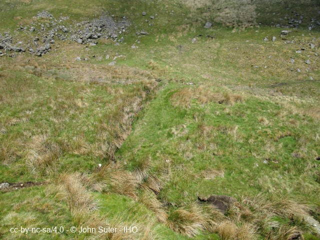
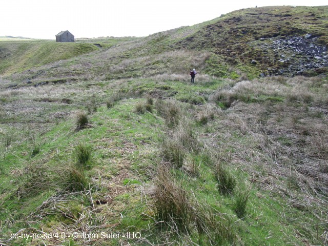
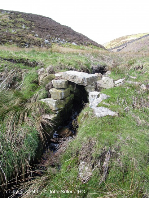
Remains of a low dam (3 to 4 ft high, 1 to 1.2m) and badly silted reservoir almost certainly used for water storage of the lead mines. Remains of stone outlet structure towards the centre of the dam and possible overflow weir at the south-end of the embankment. The dam appears to have been constructed of poorly consolidated local soil and peat. There is evidence that failure was due to the dam settling towards the centre near the outlet structure and possibly subsequently being over-topped. There is evidence of stone protection to the upstream face.
Help us improve this entry
The compilers welcome corrections or additional information on all sites.
Any information provided will be verified before appearing on the web site.
Email comments
Key Words :- dam, reservoir water storage lead mining
Viewing the Site :- On open access land.
Address :- Greenhow, Pateley Bridge, North Yorkshire, HG3 5JH
Grid Ref :- SE 10878 65025
Co-ordinates :- Lat 54.081032 , Long -1.835224
Local Authority :- Harrogate Borough Council
Pre 1974 County :- Yorkshire - West Riding
Site Status :- Site extant - Protected status unknown
Site Condition :- Earthworks only
Record Date :- 28 May 2021
Copyright :- cc-by-nc-sa 4.0 © John Suter