Industrial History Online
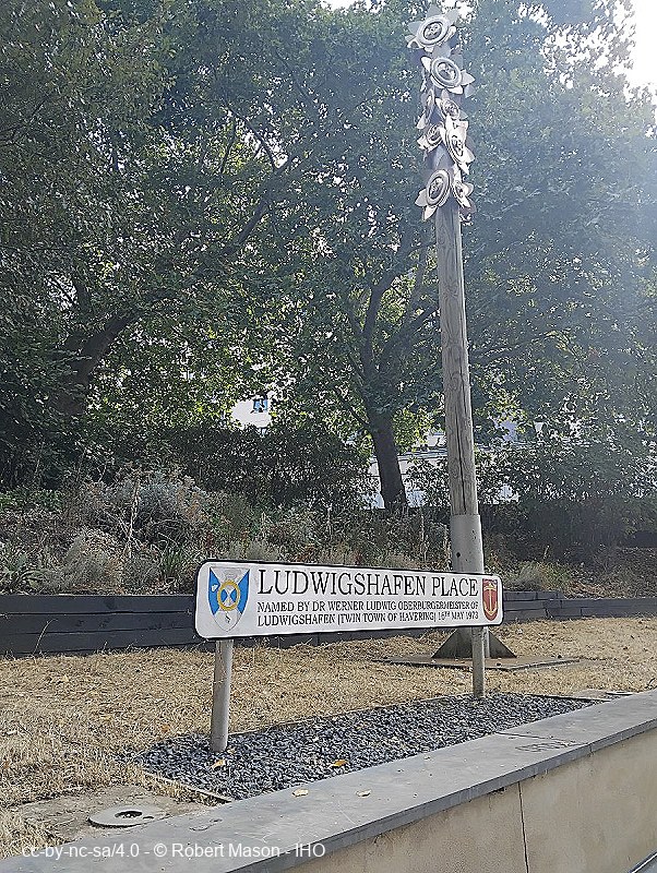
Ludwigshafen Place
Key Words :- civic
Address :- Romford, London, Greater London, RM1
Grid Ref :- TQ 5143 8909
Co-ordinates :- Lat 51.580333 , Long 0.184093
Local Authority :- Havering London Borough Council
Pre 1974 County :- Essex
Site Status :- Site extant - No Protection
Site Condition :- Operational site, in use for original purpose
Description and History of Site:-
Roundabout, pedestrian subways and sunken garden named after Romford's twinned town in Germany.
Created in 1970 after Romford Market was closed to through traffic, and St Edwards Way was opened. This replaces the former Laurie Square, which was itself created when the Loam Pond was filled in in 1874.
Further Reading and References:-
No references for this site
Help us improve this entry
Grid Ref :- TQ 5143 8909
Co-ordinates :- Lat 51.580333 , Long 0.184093
Local Authority :- Havering London Borough Council
Pre 1974 County :- Essex
Site Status :- Site extant - No Protection
Site Condition :- Operational site, in use for original purpose
Roundabout, pedestrian subways and sunken garden named after Romford's twinned town in Germany.
Created in 1970 after Romford Market was closed to through traffic, and St Edwards Way was opened. This replaces the former Laurie Square, which was itself created when the Loam Pond was filled in in 1874.
The compilers welcome corrections or additional information on all sites.
Any information provided will be verified before appearing on the web site.
Email comments
Contributor :- GLIAS Database - 2 June 2018
Copyright :- cc-by-nc-sa 4.0 © GLIAS Database
Copyright :- cc-by-nc-sa 4.0 © GLIAS Database