Industrial History Online
Farringdon Road (formerly Victoria St)
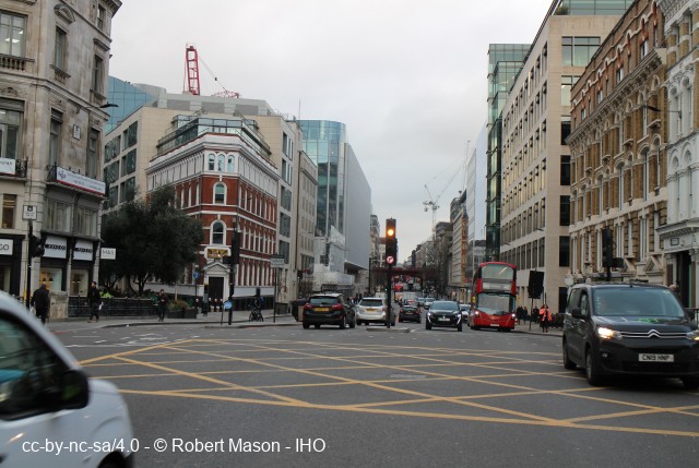
Key Words :- road
Address :- London, Greater London, EC1
Grid Ref :- TQ 31019 82512
Co-ordinates :- Lat 51.52633 , Long -0.112748
Local Authority :- \r\n Islington London Borough Council
Pre 1974 County :- Greater London Council
Description and History of Site :-
Driven through slums of Fleet valley from Holborn Bridge to Bakers Row, 316816-312812, by the City of London, between 1840 and 1856, opening route from Blackfriars Bridge to King's Cross. Cuttings of Met.R (qv) then devastated area until 1860. Metropolitan street improvements
Further Reading and References :-
No references for this site
Help us improve this entry
Grid Ref :- TQ 31019 82512
Co-ordinates :- Lat 51.52633 , Long -0.112748
Local Authority :- \r\n Islington London Borough Council
Pre 1974 County :- Greater London Council
Driven through slums of Fleet valley from Holborn Bridge to Bakers Row, 316816-312812, by the City of London, between 1840 and 1856, opening route from Blackfriars Bridge to King's Cross. Cuttings of Met.R (qv) then devastated area until 1860. Metropolitan street improvements
The compilers welcome corrections or additional information on all sites.
Any information provided will be verified before appearing on the web site.
Email comments
Contributor :- GLIAS Database - 2 June 2018
Copyright :- cc-by-nc-sa 4.0 © GLIAS Database
Copyright :- cc-by-nc-sa 4.0 © GLIAS Database