Industrial History Online
Romford Market
Key Words :- market
Address :- Romford Market, Romford, London, Greater London, RM1
Grid Ref :- TQ 512 889
Co-ordinates :- Lat 51.578687 , Long 0.180694
Local Authority :- Havering London Borough Council
Pre 1974 County :- Essex
Site Status :- Site extant - Protected status unknown
Description and History of Site:-
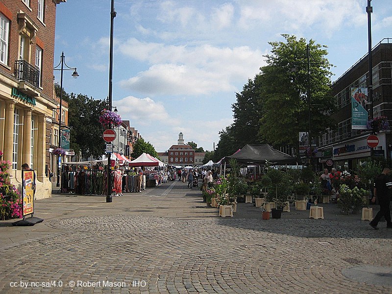
The street market, dating from 1247 when a weekly market was authorised, formerly occupied the main highway from London via High Street and Main Road to Colchester. The part occupied by the market was closed to through traffic in 1969 on the opening of the St Edward's Way by-pass to the north. The open air market continues, although it now deals mainly in clothes and foodstuffs. Cattle were last traded here in 1958.
Further Reading and References:-
https://www.romford-market.co.uk/
http://www.glias.org.uk/news/345news.html#I
Help us improve this entry
Grid Ref :- TQ 512 889
Co-ordinates :- Lat 51.578687 , Long 0.180694
Local Authority :- Havering London Borough Council
Pre 1974 County :- Essex
Site Status :- Site extant - Protected status unknown
The street market, dating from 1247 when a weekly market was authorised, formerly occupied the main highway from London via High Street and Main Road to Colchester. The part occupied by the market was closed to through traffic in 1969 on the opening of the St Edward's Way by-pass to the north. The open air market continues, although it now deals mainly in clothes and foodstuffs. Cattle were last traded here in 1958.
https://www.romford-market.co.uk/
http://www.glias.org.uk/news/345news.html#I
The compilers welcome corrections or additional information on all sites.
Any information provided will be verified before appearing on the web site.
Email comments
Contributor :- GLIAS Database - 2 June 2018
Copyright :- cc-by-nc-sa 4.0 © GLIAS Database
Copyright :- cc-by-nc-sa 4.0 © GLIAS Database