Industrial History Online
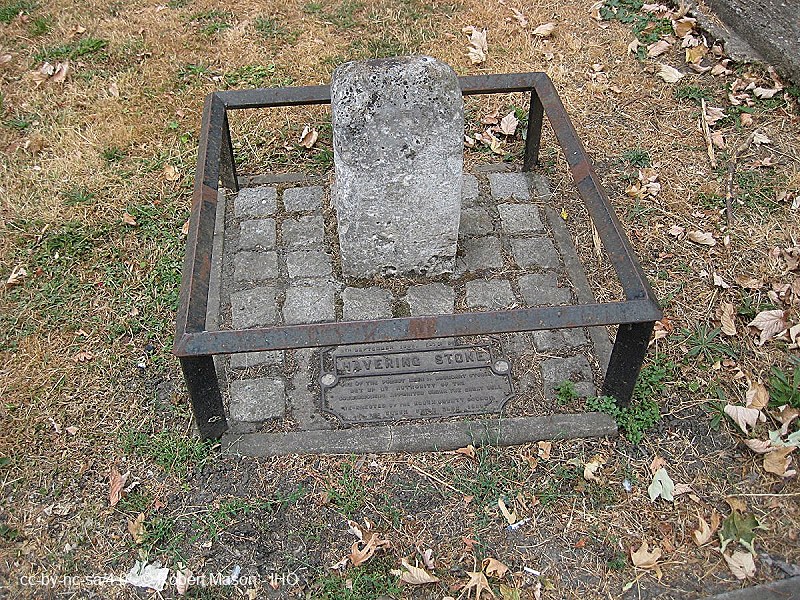
The Havering Stone
Key Words :- marker
Address :- London Road, Romford, London, Greater London
Grid Ref :- TQ 48949 88214
Co-ordinates :- Lat 51.573122 , Long 0.147942
Local Authority :- Barking and Dagenham London Borough Council
Pre 1974 County :- Essex
Site Status :- Listed - Grade II
Historic England List No :- 1300403,
Description and History of Site:-
Boundary marker of the Liberty of Havering-atte-Bower, originally set up in 1642.
Further Reading and References:-
No references for this site
Help us improve this entry
Grid Ref :- TQ 48949 88214
Co-ordinates :- Lat 51.573122 , Long 0.147942
Local Authority :- Barking and Dagenham London Borough Council
Pre 1974 County :- Essex
Site Status :- Listed - Grade II
Historic England List No :- 1300403,
Boundary marker of the Liberty of Havering-atte-Bower, originally set up in 1642.
The compilers welcome corrections or additional information on all sites.
Any information provided will be verified before appearing on the web site.
Email comments
Contributor :- GLIAS Database - 2 July 2026
Copyright :- cc-by-nc-sa 4.0 © GLIAS Database
Copyright :- cc-by-nc-sa 4.0 © GLIAS Database